Piéchard
Add to my favorites

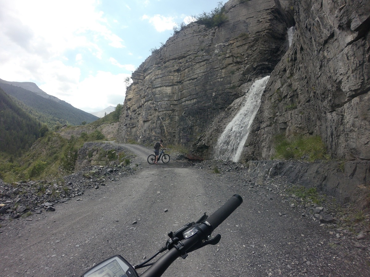
A long, gradual climb through the Vacheries de Demandols offers magnificent scenery before reaching the Auron ski resort.
The descent to St Etienne de Tinée on a DH (Downhill) trail is quite technical.
Charging station are located at the foot of the Pinatelle lift (charger no included).
The characteristics of the route.

Saint-Étienne-de-Tinée (06)
- Distance 16.94 km
- Elevation gain 870 m
- Elevation lost 870 m
- Min. elevation 1151 m
- Max. elevation. 1998 m
- Duration (depending on pace) 2h à 4h
Read before you go!
- Follow the marked trail, don't take shortcuts and respect the direction of your route.
- Before setting off on a route, check the weather, make sure it is suitable for your level, check the conditions of your mountain bike and leave your route with someone.
- Be careful, courteous and slow down when overtaking other road users.
- Pay extra attention during hunting season and find out about current hunts.
- If you encounter livestock protection dogs, dismund, avoid sudden movements and go around the herd.
- Respect private property, cultivated areas and close the barriers after your visit.
- Behave in an ecofriendly way, take your waste away with you, respect flora and fauna to preserve the nature.
- Always make sure to download your route (GPX) correponding to the route in question.
Area : St Etienne de Tinée
Report a problem
Add your time and share your feelings
Services nearby

Le Village et la place de l'Eglise
Saint-Étienne-de-Tinée

Taxi Brissi
Saint-Étienne-de-Tinée

Office de Tourisme Nice Côte d'Azur - Saint-Etienne-de-Tinée Office
Saint-Étienne-de-Tinée
Saint Etienne de Tinée Church
Saint-Étienne-de-Tinée
Monument aux Morts
Saint-Étienne-de-Tinée



Follow us on
the digital trails
the digital trails




Info & contacts
Offices de Tourisme du territoire
Auron : +33(0)4 93 23 02 66
St Etienne de Tinée : +33(0)4 93 02 41 96
St Dalmas le Selvage : +33(0)4 93 02 46 40
 Auron Outdoor - Parcours - Piéchard
Hello, world! This is a toast message.
Auron Outdoor - Parcours - Piéchard
Hello, world! This is a toast message.
Auron Outdoor - Parcours - Piéchard
Hello, world! This is a toast message.


OK
Annuler