Col de Gialorgue
Add to my favorites

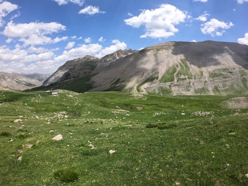
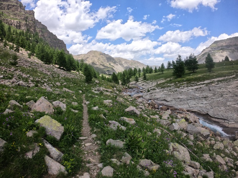
Starting from the village climb the track of the vallon de Gialorgue with its outstanding view on the Fort Carra mountains. Then reach the CAF refuge of Gialorgues following a forest twisting route. A small western détour will allow you, if you wish, to admire the lakes of Gialorgues. Then follow to reach the pass at 2519m. You will return with the same route.
The characteristics of the route.

Saint-Dalmas-le-Selvage (06)
- Distance 10.11 km
- Elevation gain 1040 m
- Elevation lost 20 m
- Min. elevation 1497 m
- Max. elevation. 2517 m
- Duration (depending on pace) 4h
Read before you go!
Course evolving in the Mercantour National Park. Comply with the regulations in force.
Dogs forbidden.
- Follow the marked trails and don't take shortcuts.
- Before setting off on a route, check the weather, make sure it is suitable for your level and leave your route to someone.
- Be careful.
- Pay extra attention during hunting season and find out about current hunts.
- If you encounter livestock protection dogs, remain calm, avoid sudden movements and go around the herd.
- Respect private properties, cultivated areas and close the barriers after your visit.
- Behave in an ecofriendly way : take your xwaste away with you, respect flora and fauna to preserve the nature.
- Always make sure to download the route (GPX) corresponding to the route in question.
Area : St Dalmas le Selvage
Report a problem
Pdf map
Add your time and share your feelings
Services nearby
Saint-Dalmas Le Selvage
Saint-Dalmas-le-Selvage

Communal postal agency
Saint-Dalmas-le-Selvage
Cadran solaire de la place centrale
Saint-Dalmas-le-Selvage
Church
Saint-Dalmas-le-Selvage
Gîtes du Presbytère - Le Chamois - 10 pers
Saint-Dalmas-le-Selvage



Follow us on
the digital trails
the digital trails



Info & contacts
Offices de Tourisme du territoire
Auron : +33(0)4 93 23 02 66
St Etienne de Tinée : +33(0)4 93 02 41 96
St Dalmas le Selvage : +33(0)4 93 02 46 40
 Auron Outdoor - Parcours - Col de Gialorgue
Hello, world! This is a toast message.
Auron Outdoor - Parcours - Col de Gialorgue
Hello, world! This is a toast message.
Auron Outdoor - Parcours - Col de Gialorgue
Hello, world! This is a toast message.


OK
Annuler